
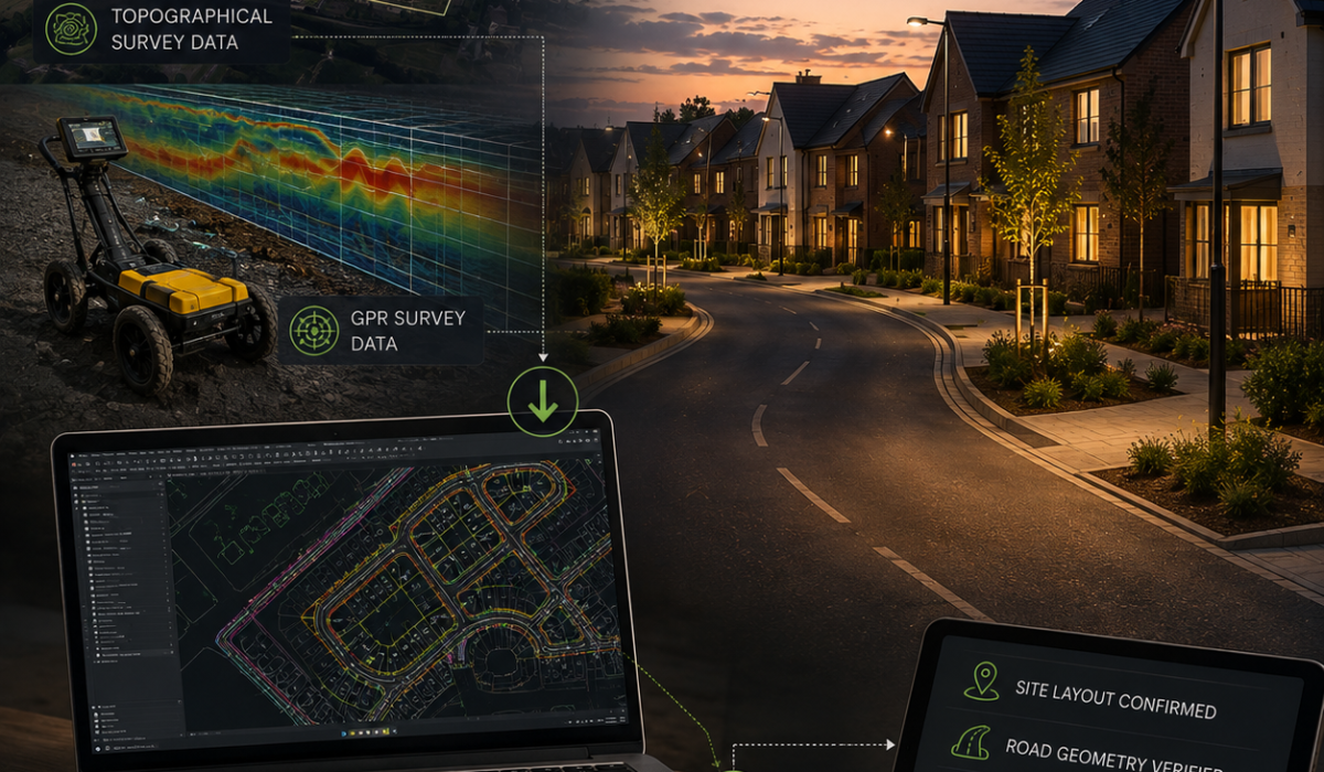
You supply topographical and GPR survey data for the development. We carry out desktop assessment using aerial and mapping data to confirm site layout, road geometry, and existing infrastructure — no site visit is required from HLS directly. This keeps the design process fast to start and easy to run alongside your civils team’s own workload.